
Mapping the Land Down Under: The Heroic Journeys of the Royal Australian Survey Corps
Imagine navigating the vast, rugged terrains of Australia without Google Maps! From the early days of Australia's involvement in global conflicts to its development during peacetime, the Royal Australian Survey Corps (RASC) played an inspiring role in meticulously mapping out the continent. Who were these brave individuals? What was their mission? When did they operate? Where did their efforts span, and why were they absolutely essential?
Cracking the Code of the RASC: Who and What?
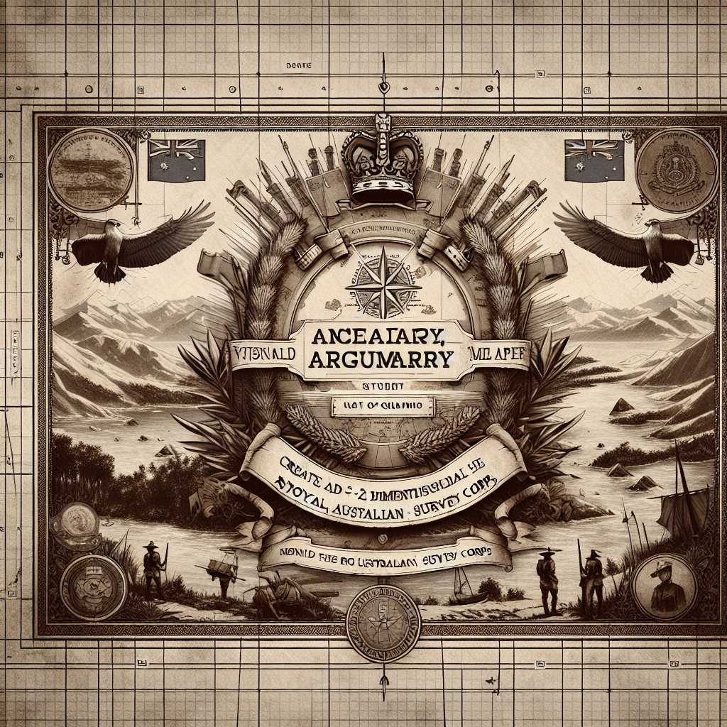
The Royal Australian Survey Corps (RASC) was a branch of the Australian Army tasked with the vital mission of mapping and charting the diverse Australian landscapes. Officially established in 1915, the Corps employed surveyors who undertook the challenging task of navigating Australia's varied geography. Their efforts contributed significantly to the military and civilian needs across the decades. Mapping went beyond simply producing charts—it was a blend of science, art, and sheer human grit.
The Early Days: When it All Began
Founded during World War I, the RASC emerged from the urgency faced by Australian forces needing accurate and reliable geographical data. This was an era before satellites and digital navigation tools, where skilled surveyors relied on compasses, theodolites, and their pioneering spirits. They began their significant work during the war and later expanded their operations extensively during World War II.
Mapping the Mystery: Where They Operated
Primarily based in Australia, the RASC's operations occasionally extended to regions where Australian troops were deployed, showcasing the adaptability and global reach of their expertise. From the dense jungles of Papua New Guinea to the arid deserts within Australia, the RASC tackled terrain that tested the limits of human endeavor.
The Mission and the Madness: Why It Mattered
Why was the work of RASC paramount? In any military context, understanding the lay of the land could mean the difference between victory and defeat. Maps created by the RASC informed troop movements, logistics planning, and defensive strategies. Civilian use of these maps further extended into infrastructure planning, land management, mineral exploration, and environmental conservation.
Tools of the Trade: The Science Behind the Survey
Surveying is a field that intertwines rigorous geometry and geography with practical engineering skills. Imagine standing atop a peak with a theodolite—a precision instrument for measuring angles—mapping each contour and elevation in fine detail. The maps drawn up by the Corps were known for their accuracy and detail, a testament to the scientific precision behind their creation.
These innovators embraced emerging technologies throughout their service. From using early photogrammetric techniques to adopting advanced aerial photography, technology allowed them to capture terrain details with increasing accuracy.
Beyond Maps: Legacy of the RASC
The RASC continued to serve the Australian nation until its disbandment in 1996 after 81 years of mapping excellence. However, their legacy lives on. Today's Royal Australian Engineers and the Army's Geomatic Squadron carry forward their objectives, utilizing modern GPS technology and satellite imagery.
The work done by the RASC laid the groundwork for a number of development projects, aiding in everything from the building of roads and railways to improved national defenses and better-managed rural and urban planning.
Humanity's Courageous Cartographers
Now, more than ever, we appreciate the utility of a precise map. Each time we tap the GPS on our smartphones, we stand on the shoulders of surveyors who braved the wilderness to sketch the outlines of our world. These surveyors, with their meticulous ways and adventurous spirits, painted a living canvas where our lives unfold.
Their optimistic foresight reminds us how human determination, coupled with science, can surmount overwhelming odds to yield astonishing wonders. The Royal Australian Survey Corps are stellar examples of how mapping the unknown expands our understanding, enriches our lives, and builds bridges between imagination and practicality.
The evolution of the RASC’s mission from compass-toting pioneers to champions of geomatics paints a fascinating portrait of progress. This journey echoes throughout humanity’s oldest and most noble quests: the desire to understand our place in the world.
As you wander through digital or physical maps of Australia, remember the steadfast surveyors of the Royal Australian Survey Corps—they weren’t just drawing lines; they were outlining the future.