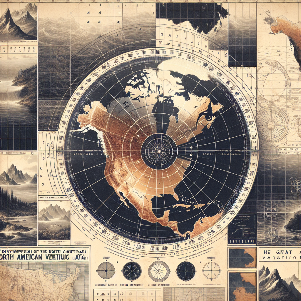

An Ocean of Differences, Levelled by Science
Imagine living in a world where every building, bridge, and tunnel is built based on different elevation standards—it’s like organizing a global potluck without a table to place the dishes on. But fear not, thanks to the brilliant minds behind the North American Vertical Datum of 1988 (NAVD 88), we have a consistent reference point making life not only more manageable but also more precise. NAVD 88 is the standardized vertical datum that replaced the National Geodetic Vertical Datum of 1929 (NGVD 29), providing a singular, unified baseline for elevation measurement across North America, enlightening the realms of engineering, urban planning, and environmental sciences. It was established by the National Oceanic and Atmospheric Administration (NOAA) and marks a significant milestone in geodetic surveying.
A Brief History of Elevation Datums
Vertical datums are pivotal in determining elevations at various points on the Earth’s surface. Before the conceptualization of NAVD 88, NGVD 29 was the standard used in the United States. However, the continued development and expansion of technology highlighted the inaccuracies and inconsistencies of NGVD 29. The 1929 system was primarily based on local mean sea levels and tied to multiple tidal stations, causing it to be outdated and somewhat imprecise for contemporary needs, which were growing exponentially with the advent of new technologies.
Why 1988? The Quest for Precision
Why was there a need for NAVD 88 to come into the picture? The reason lies in the search for accuracy and uniformity. NGVD 29’s reliance on tidal measurements suffered from varying sea levels across different geographical locations, not to mention the crustal movement altering those readings over decades. NAVD 88, on the other hand, offers a more reliable and consistent framework by utilizing a single baseline, the tide gauge at Father Point/Rimouski, Quebec, as its reference point. This was coupled with adjustments for thousands of kilometers of leveling networks to ensure minimal effective sea level heights. Thus, NAVD 88 harmonizes the elevation data across North America, gambling away the inconsistencies caused by oceanic tides and tectonic shifts.
Science Behind the Symmetry
At the essence of NAVD 88 is the concept of leveling networks. Geodetic leveling is an intricate process involving a series of connected lines forming a comprehensive network across the continent. These lines represent precisely measured differences in heights between various points, providing a meticulous assemblage of elevation data. The calculations involve compensating for gravitational forces and understanding the geoid, an irregular representation of the Earth's gravitational surface, adding layers of accuracy to the entire system. Notably, about 625,000 kilometers of previously-leveled data were re-evaluated and corrected during NAVD 88’s initial implementation, showing the dedication to exactitude and reliability in geodetic science.
The Ever-Expanding Applications
Now, you might wonder, aside from leveling our metaphorical potluck table, where do the uses of NAVD 88 truly shine? Firstly, it’s indispensable for infrastructure development. The high precision and consistency help in everything from constructing skyscrapers that soar into the sky to planning vast networks of highways and underground tunnels. Environmentalists rely on NAVD 88 to monitor changes in sea levels and plan sustainable water resource management. Furthermore, with digital cartography and Geographic Information Systems (GIS) coming into play, this datum offers an excellent foundation of accuracy required to overlay layers of geographical information for surveying, mapping, and planning with unprecedented precision.
Moving Forward with Technology
Embracing the power of broader communication networks and GPS technology, the future of elevation datums continuously evolves. In recent years, work is underway to further modernize the system with a new datum, the North American-Pacific Geopotential Datum of 2022 (NAPGD2022), which aims to integrate gravity field modeling to achieve even greater accuracy. This upgrade is an exciting development for surveying enthusiasts and professional scientists alike, offering insights into Earth's dynamic nature, and a glowing reminder of the importance of staying at the frontier of innovation.
Elevating Our Understanding
NAVD 88 isn’t just about numbers and elevation points—it embodies the intersection of human curiosity, technology, and our endeavor to understand the world around us with clarity and coherence. It’s a testament to the collaborative spirit of scientists and engineers working towards improving our lives efficiently and sustainably. As we continue to confront new challenges and adapt to ever-changing environments, the foundation provided by work like NAVD 88 serves as both an emblem of precision and a cornerstone of innovation.