
Unveiling the Earth's Canvas: The Fascinating World of Land Cover
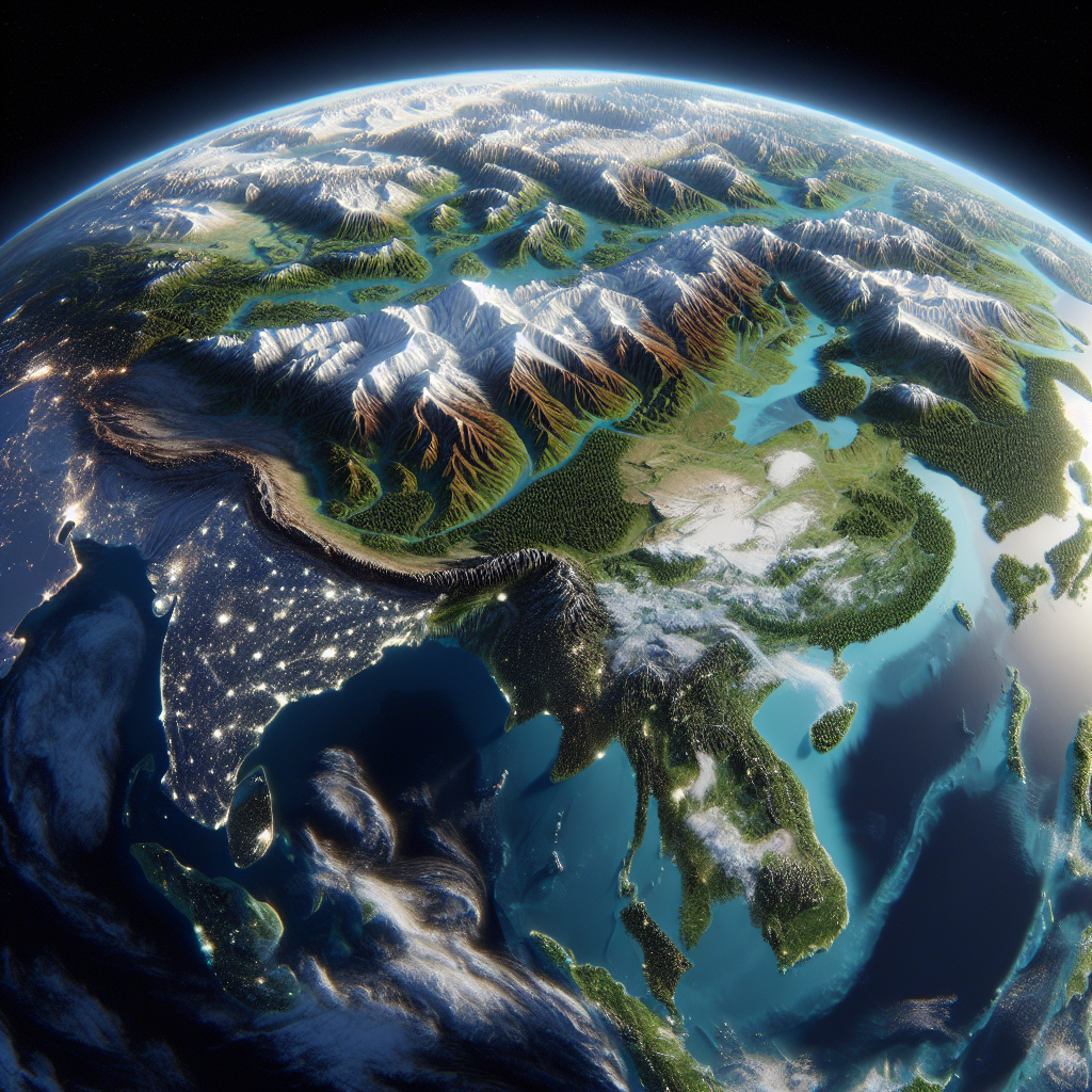
Imagine the Earth as a giant, ever-changing canvas, painted with a myriad of colors and textures. This vibrant masterpiece is what scientists and environmentalists refer to as "land cover." Land cover is the physical material on the surface of the Earth, encompassing everything from lush forests and sprawling urban areas to arid deserts and shimmering water bodies. It is a crucial component of our planet's ecosystem, influencing climate, biodiversity, and human activities. The study of land cover involves understanding what covers the Earth's surface, who is responsible for its changes, when these changes occur, where they are most significant, and why they matter.
Land cover is a dynamic entity, constantly evolving due to natural processes and human interventions. Scientists and researchers use satellite imagery and remote sensing technology to monitor these changes over time. This data helps them understand the impact of deforestation, urbanization, agriculture, and climate change on the Earth's surface. For instance, the Amazon rainforest, often referred to as the "lungs of the Earth," has seen significant land cover changes due to deforestation for agriculture and logging. These changes not only affect local ecosystems but also have global implications for carbon storage and climate regulation.
The importance of studying land cover cannot be overstated. It provides valuable insights into environmental health, resource management, and sustainable development. By analyzing land cover data, policymakers can make informed decisions about land use planning, conservation efforts, and climate change mitigation strategies. For example, identifying areas of rapid urban expansion can help in planning infrastructure and services to accommodate growing populations while minimizing environmental impact.
Land cover also plays a vital role in understanding and mitigating the effects of climate change. Different types of land cover, such as forests, grasslands, and urban areas, have varying capacities to absorb or reflect sunlight, affecting the Earth's energy balance. Forests, for instance, act as carbon sinks, absorbing carbon dioxide from the atmosphere and helping to regulate global temperatures. Changes in land cover, such as deforestation or urbanization, can disrupt these natural processes, contributing to climate change.
In summary, land cover is a fundamental aspect of our planet's ecosystem, influencing everything from local biodiversity to global climate patterns. By studying and understanding land cover, we can better appreciate the intricate tapestry of our world and work towards a more sustainable future. So, the next time you look at a map or a satellite image, remember that you're not just seeing land; you're witnessing the dynamic and ever-changing canvas of our Earth.