
Ever wonder why satellite images of Earth depict a planet that's a bit bulged and not a perfect sphere? That bulge is the geoid—the quirky, invisible shape our planet assumes, thanks to gravity and rotation. The geoid is a complex, yet fascinating concept encapsulating how Earth’s gravitational pull shapes our oceans and even influences where we live and how we build.
What Is the Geoid?
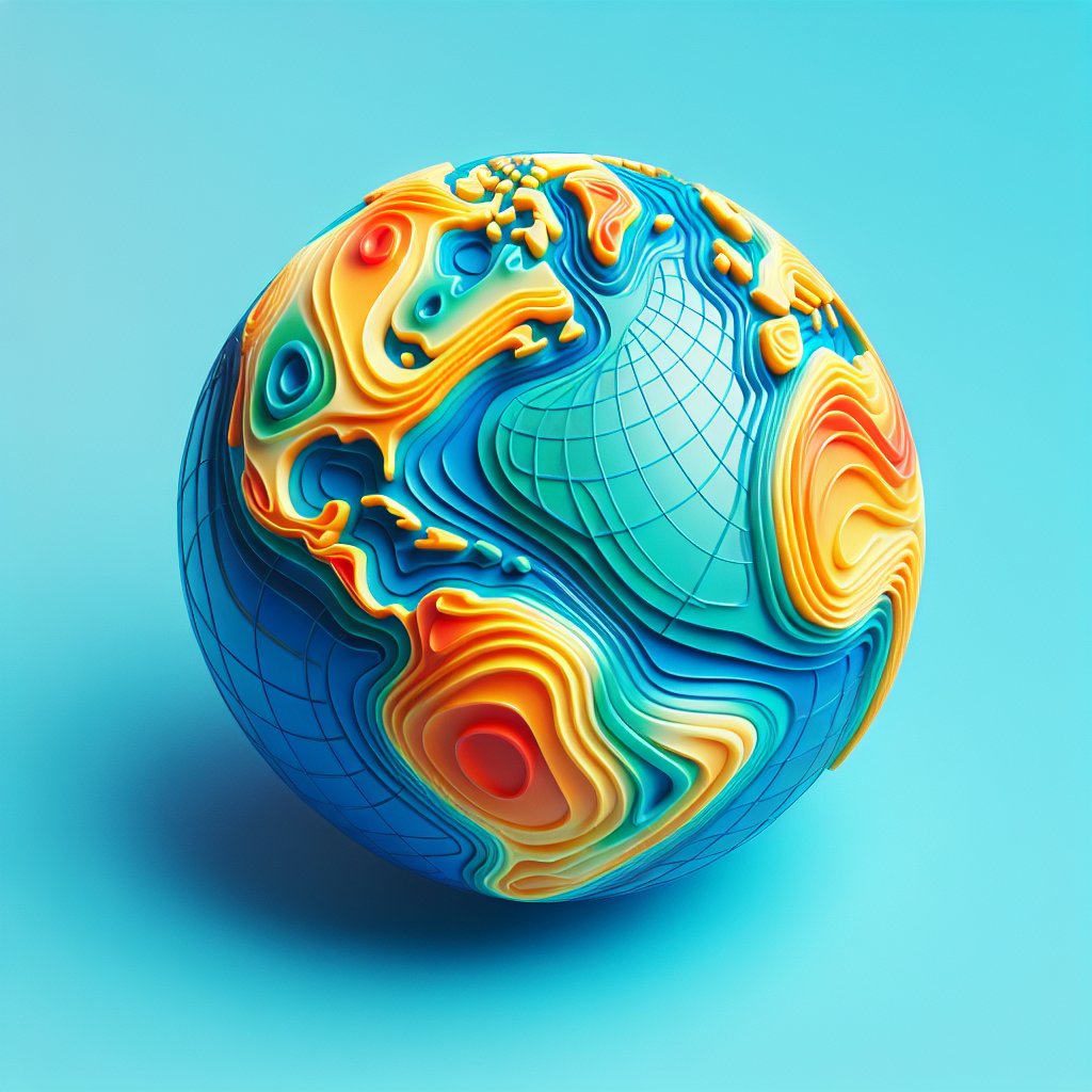
The geoid represents an ideal sea level across the globe, undisturbed by tides or weather, forming an imaginary surface that extends through the continents. This surface is where a plumb bob would point directly to Earth's mass, basically indicating the mean sea level everywhere across the planet. Think of it as Earth’s unique fingerprint in the universe, determined by its gravitational field.
This wasn’t just discovered overnight. Measurements and calculations have been in progress for centuries, driven by geophysicists, oceanographers, and astronomers who all sought to decode this peculiar puzzle piece of our planet.
The Who, What, Where, and Why of the Geoid
The concept of the geoid is central not just to undersea mapping and satellite navigation but also to our understanding of Earth's interior. Scientists use the geoid to unravel mysteries about the planet’s crust, mantle, and dying tales of tectonic drama.
The beauty of the geoid is that it can show you where the hidden valleys and mountains of our world lie, beneath the ocean—and it’s all because gravity is not constant. Because Earth is not a perfect sphere, the pull of gravity differs at different locations on the surface, sculpting the ocean surface into a subtle, yet significant, undulating shape.
Earth's Bumpy, Gravity-Tugged Shape
To visualize the geoid, picture how water would naturally settle given Earth's gravitational pull. It’s like painting gravity in motion pictures. What’s brilliant is that this understanding comes from thousands of satellite data points and measurements that involve some serious number-crunching from geodesists. These experts scrutinize the dense bands of data to build a 3D shape, mapping from the sea surface that skirts below mountains and across plains!
Why It's Important?
You're probably wondering why this is more than just academic hot air. Well, for one, without the geoid, precise satellite navigation would become a hair-pulling ordeal. Aircraft rely on GPS, which must account for the geoid to provide accurate altitude readings and keep things aloft safely as you traverse across continents.
Moreover, climate scientists analyze geoid shifts to infer ice cap melting trends—an invaluable resource in understanding climate change effects laboring below the radar.
Advances in Geoid Mapping
In recent years, satellite missions like the European Space Agency’s GOCE (Gravity field and steady-state Ocean Circulation Explorer) have propelled our knowledge of the geoid to new frontiers. Launched in 2009, GOCE orbited just outdoors of conventional satellite paths, flying close to Earth to measure gravity variations with unprecedented precision until it completed its mission in 2013.
And it’s not all; gravitational measurements from other missions, such as NASA’s GRACE (Gravity Recovery and Climate Experiment), continue to refine our understanding. GRACE, for instance, detects a decrease in the planet’s gravity as glaciers or ice caps lose mass and contribute to rising sea levels.
Applications: From Engineering to Earth Sciences
Understanding the geoid has a ripple effect, transforming various fields beyond Earth Science. Engineers employ geoid models to lay out infrastructure developments like bridges and tunnels, ensuring they sync with Earth's gravitational map. Without this knowledge, construction can spiral into costly corrections or disasters.
But it's not only the mega-projects feeling the impact. It has entered the exquisite dance of our GPS devices, especially those involving precision agriculture and autonomous vehicles. Even social scientists studying human habitats and planning need to tip their hats to the geoid's influence.
Looking Forward
The role of the geoid stands as a testament to humanity's quest for knowledge and its thirst for uncovering the invisible threads that bind everything. As technologies and computation become smarter, our grasp of the geoid will evolve, offering spectacular insights into dynamic Earth processes.
This understanding bridges the gap from ancient cartographers to modern scientists working tirelessly to map the undercurrents and overviews of our planet. The promise of the future holds exciting potential for even more accurate global models, ensuring our grandest endeavors and everyday activities align harmoniously with our planet’s graceful pull.
After all, understanding the geoid is not just about plotting points on a globe; it’s about connecting with our home planet on a far deeper level, an endeavor that symbolizes humanity’s spirit of curiosity and innovation.