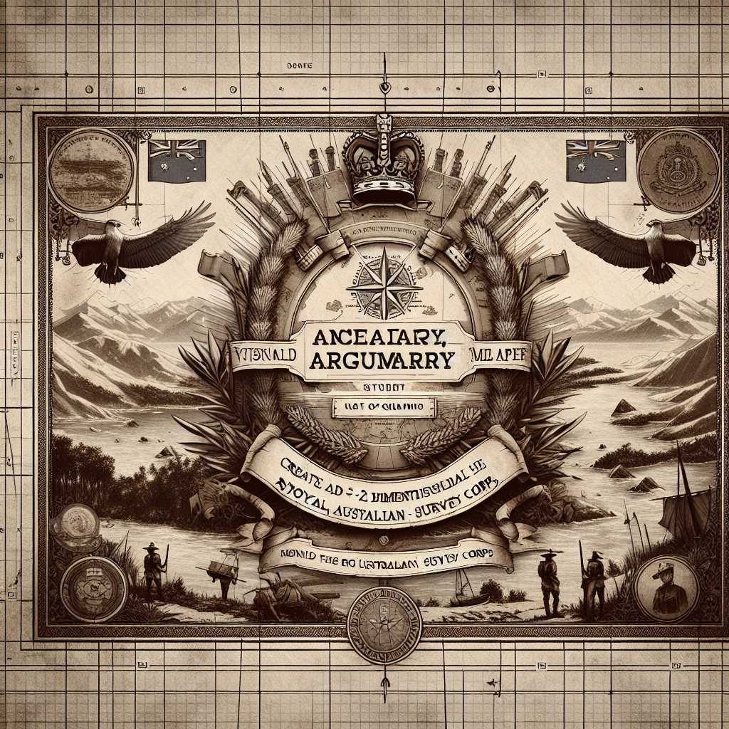

Imagine the challenging task of mapping a continent with little more than compasses and theodolites—it's a bit like trying to complete a jigsaw puzzle in the dark. Yet, this was the task of the Royal Australian Survey Corps (RASC), a remarkable group often overlooked in the grand tapestry of military history. The Corps, established in 1915, was tasked with creating detailed maps of Australia from the ground up. Corporal deeds of these cartographic trailblazers spanned across Australia and even Southeast Asia. They existed because, to put it simply, effective mapping is essential for military planning and civilian life.
The work of the RASC was no walk in the park. With vast terrains and volatile weather common to the Australian landscape, surveyors had to be both resilient and innovative. Armed with their surveying gear, they ventured into remote areas, battling elements and sometimes even wildlife. It wasn't just about drawing lines on paper. It was about understanding and measuring, then translating that into something useful for others.
Not everyone can see the magic in maps or grasp their importance. For the military, though, accurate geography is crucial. The RASC provided critical intelligence during WWI, WWII, and beyond, serving as the eyes that ensured precision in strategies and operations. Though they weren't on the front lines, their role was a backbone of combat success.
By the time World War II erupted, the Corps had matured in size and capability. They went beyond Australia, engaging in mapping efforts across the Pacific and Southeast Asia. Soldiers left their mark globally, although often overlooked by history books. Admittedly, compared to stories of heroism in the battlefield, creating maps might seem mundane to some. Yet, without those who mapped the perilous paths, fewer soldiers could have found their way home.
During its nearly 82 years of operation, the RASC was a pioneer, adapting to new challenges of technology and geographic intricacies. Post-World War II marked significant changes, as technological advancements like aerial photography began transforming cartography. The Corps embraced these technologies, demonstrating resilience and adaptability. Their contributions extended beyond military needs, shaping infrastructure projects and resource management, crucial for developing a young nation.
There is, however, another side to this story worth mentioning. For many, the landscape of Australia and surrounding regions carries cultural significance. Land isn't just land; it's a tapestry of heritage and belonging. While RASC maps represented progress and safety for some, they also brought critical conversations about land ownership and Indigenous rights, issues which remain deeply relevant today. Australia continues to grapple with these important discussions, understanding that real progress is inclusive and respectful of all voices.
In 1996, amid budget constraints and a shifting focus towards integrated defense operations, the decision was made to dissolve the Corps. The vacuum left behind signified a shift, where other units assumed the mapping roles once held by this dedicated group. Yet the legacy of the RASC endures; their meticulous records and maps continue to guide nuanced conversations about land and territory.
General society may not sit and ponder the virtues of a well-drawn map in everyday life, but there's something powerful about knowing the legacy of groups like the RASC. They remind us of the ability to adapt, the importance of unseen contributions, and above all, the interconnectedness of varied histories within society. If anything, the Royal Australian Survey Corps shows young generations that sometimes, the biggest impacts come from those who, silently and diligently, draw the lines where stories unfold.