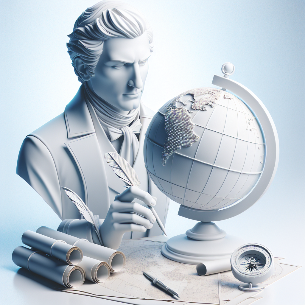

If maps are the blend of art and science, then John Cary was both an artist and a thinker navigating uncharted waters. Born in 1754 in England, John Cary emerged as an important figure who literally put the world on paper. But he was more than just the creator of maps; Cary was the visionary who shaped how people of his time, and even today, visualize the geometries of the world. His work was so revolutionary that even as the world was facing upheavals and transformations like the Industrial Revolution, Cary helped to map change in more ways than one.
Cary wasn’t born into a family of cartographers or scientists. He was the son of a Wiltshire maltster and ventured into the field of engraving and mapmaking purely out of personal passion and ambition. By 1794, his skills had soared to the extent that he was a noted name in map making, recognized by the Royal Society under King George III. At a time when maps were not just practical tools but symbols of empire-building and exploration, Cary’s maps stood out for their exceptional accuracy and clarity.
Cartography, the craft of mapmaking, might seem mundane in a world where digital maps guide every step we take. But in Cary’s time, it was a frontier of innovation akin to today's tech revolution. With detailed atlases like “Cary's New and Correct English Atlas,” he didn't only provide practical navigation tools but became an integral part of the expansion of knowledge. Cary’s meticulous work captured not only the physical topography but also the growing socio-political boundaries. His atlases became quintessential in both educational institutions and in administrative planning.
In the age of discovery, mapping was not just about plotting lands but a subtle art of shaping perceptions. Cary’s works, just like any significant advancement, stirred conversations and sparked controversies. One cannot ignore the ethical implications of mapmaking in the context of colonialism. Maps during Cary's era were often tools of empire, used to declare and own territories, many of which were inhabited by people who had their own systems of mapping and land ownership.
This raises discussions about the ethics of mapmaking. Was Cary complicit in the imperial ambitions of his time? Did his maps facilitate colonial conquests, or were they neutral tools of navigation? While Cary himself seemed focused on accuracy and artistic detail rather than political agendas, it is essential to remember that maps carry the weight of the contexts in which they are created. This duality presents a reflective opportunity to examine how technologies — from tangible maps to intangible digital platforms — can be complicit in narratives beyond their creators' intentions.
Aside from ethical questions, Cary's work is a testament to detailing as a revolutionary act. His journey underscores the importance of visibility. Who gets seen on the map and who doesn’t is an ongoing question that resonates with today’s strategies on data privacy, surveillance, and representation. In Cary's maps, towns, cities, and even minute geographical features earned a place, providing visibility that was hard-earned in an age of limited technological capability.
The relevance of Cary's work echoes in modern geospatial innovations. Just as Cary's maps were ahead of their time, today’s mapping technologies continue to shape moments: be it for social justice, surveillance, or climate change visualization. Like the maps of his era, today's tools can advocate for visibility, equity, and truth.
Critics might argue that Cary did nothing more than what was already happening: engraving topologies in copper plates. However, the beauty and detail of his work add a rich layer to his legacy — a reminder that precision and artistry can indeed move mountains. For modern-day activists, political thinkers, and data engineers, Cary’s life work upholds a lesson in combining thorough craftsmanship with a conscious understanding of the world.
John Cary’s narrative invites compassion even from those who question the legacy of cartography in colonial contexts. His maps not only expressed the physical world but contributed to society’s understanding and engagement with it. In a way, Cary was charting more than land; he was charting change — revealing how maps, like stories or art, are dialogues with the unknown.