
The Wobbly World of the Geoid: Earth's True Shape
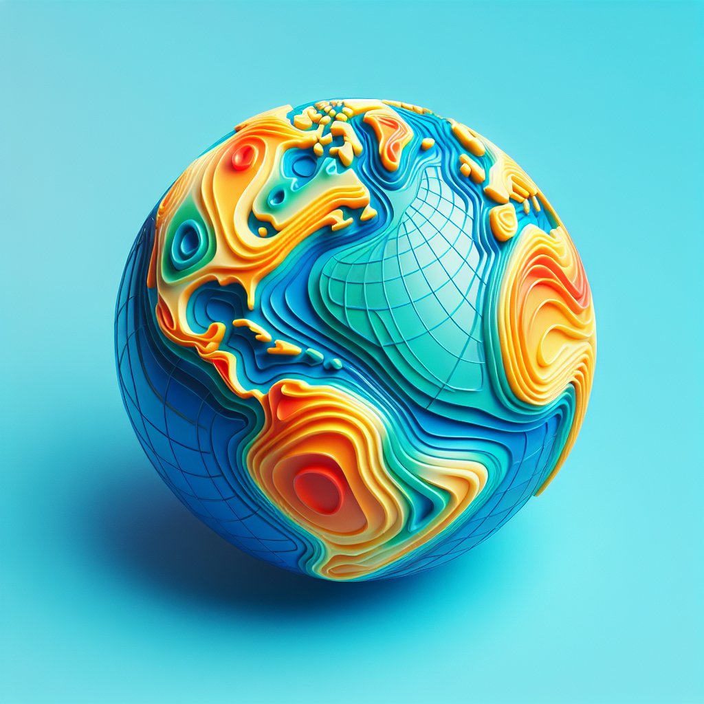
Imagine Earth as a giant, lumpy potato rather than a perfect sphere. This quirky image is closer to reality than you might think, thanks to the geoid. The geoid is a model of Earth's shape, representing the mean sea level across the globe, influenced by gravity and Earth's rotation. Scientists and geophysicists have been studying the geoid for decades, using it to understand our planet's gravitational field and its impact on sea level. This research is crucial for navigation, satellite positioning, and understanding climate change. The geoid is not a new concept; it has been a topic of interest since the 19th century, but advancements in technology have allowed for more precise measurements and a better understanding of its complexities.
The geoid is a fascinating concept because it challenges our perception of Earth. While we often think of our planet as a smooth, round object, the geoid reveals a more complex reality. It accounts for variations in Earth's gravitational field caused by factors like mountain ranges, ocean trenches, and even the density of rocks beneath the surface. These variations create a "wobbly" surface that is constantly changing. Understanding the geoid is essential for accurate mapping and navigation, as it provides a reference point for measuring elevations and sea levels.
The study of the geoid has significant implications for climate science. As global warming causes ice caps to melt and sea levels to rise, scientists rely on the geoid to track these changes accurately. By understanding how water is distributed across the planet, researchers can make more accurate predictions about future climate scenarios. This information is vital for policymakers and communities planning for the impacts of climate change, such as coastal flooding and habitat loss.
While the geoid is a scientific concept, it also has practical applications in our daily lives. GPS technology, which many of us use for navigation, relies on an accurate understanding of the geoid to provide precise location data. Without this knowledge, our GPS devices would be far less reliable, leading to potential errors in everything from driving directions to emergency response efforts. The geoid also plays a role in aviation and maritime navigation, ensuring that planes and ships can travel safely and efficiently.
Despite its importance, the geoid is not without controversy. Some critics argue that the focus on the geoid and its implications for climate change is overstated. They believe that other factors, such as human activity and natural climate cycles, play a more significant role in shaping our planet's future. However, most scientists agree that the geoid is a critical tool for understanding Earth's complex systems and that its study is essential for addressing the challenges of the 21st century.
The geoid is a reminder of the complexity and beauty of our planet. It challenges us to think beyond the simple, spherical model of Earth and to appreciate the intricate forces that shape our world. As technology continues to advance, our understanding of the geoid will only deepen, providing new insights into the mysteries of our planet. For the next generation, this knowledge will be crucial in navigating the challenges of a changing world and ensuring a sustainable future for all.